James Peak
Started: 2008-10-09 18:37:51
Submitted: 2008-10-09 18:37:56
Visibility: World-readable
Last year, climbing James Peak was my last outdoor summer expedition. This year, I didn't want to break the tradition.
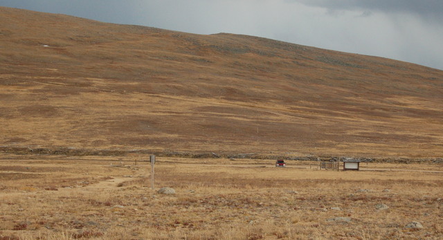
I woke up early on Sunday morning, 28 September and headed west. As I crested the first hill on I-70, I could see James Peak and its companion peaks arranged along the Continental Divide right in front of me. I drove to Empire, crossed Berthoud Pass, drove through Winter Park, and barely missed the turnoff to the Rollins Pass Road. I drove up the old railroad grade to Riflesight Notch, parked across the road from the crumbling, hundred-year-old train trestle, and hit the trail at 10:00.

I headed south-south-east, climbing gently along the tundra just west of the Continental Divide. At Rogers Pass, I studied the broad north slope of James Peak and followed the trail south, along the Continental Divide, skirting the west side of the steep ridge separating Colorado River drainage from Mississippi River drainage. The ridge ended in a broad slope scattered with early-season snow. I looked north and saw Heart Lake, where I backpacked early this season, the South Boulder Creek drainage, and the gentle ridge following the Continental Divide north to Rollins Pass. I followed the trail up the north slope, stopped to look down Super Star couloir on the edge of the peak's east face, and continued on to the summit.

I reached the summit at noon. I could see all six Front Range fourteeners; the north slopes of Grays and Torreys were covered in early season snow, and Pikes Peak loomed in the distance, far to the south. I ate lunch at the summit and saw two figures descending the south-east ridge of Parry Peak across the valley to the south-west. I like all mountains, but I especially like James Peak.

I left the summit after half an hour (and more than a couple pictures) and realized that I could hear the fans running at the East Portal of the Moffat Tunnel, four miles and four thousand vertical feet below me.
I retraced my steps, returning to Motoko at 1400. I decided it was too early to go home just yet, so I drove to Rollins Pass and hiked to Bob Lake (which I never quite managed to reach) and stopped by the crash site below Betty Lake to pay my respects. I wasn't quite sure what "paying my respects" meant in this context, but I figured out something to do at the site. The cairn I built two years ago was still there, and the debris field made finding the actual site easy despite the plane's absence. I found a faint social trail leading from the Forest Service trail to the crash site.
I returned to Motoko and drove back to Winter Park. Along the way, I stopped at Riflesight Notch one last time to figure out exactly where the railroad grade went. I finally realized that the rail line went under the notch in a short, now-collapsed tunnel, looped around the mountain, crossed the notch on the still-standing trestle, and continued north to Rollins Pass. The ingenuity of railroad engineers a century ago never ceases to amaze me.
I reached Winter Park a bit later than planned; I underestimated the time my side trip to Bob Lake would take. I called Kiesa and checked in before heading south across Berthoud Pass. When I merged onto I-70 at Empire, I remembered that I need to worry about eastbound traffic on Sunday afternoons; I suffered through bumper-to-bumper stop-and-go traffic for an hour before the road widened to three lanes and traffic cleared up.
With snow now falling on my mountains, summer is over, and I need to find other things to entertain me while I wait for cross-country skiing and snowshoeing season.
