San Andreas
Started: 2021-02-28 21:04:44
Submitted: 2021-02-28 23:18:20
Visibility: World-readable
In which the intrepid narrator takes his children to go visit the San Andreas Fault
I now live near the top of the Santa Cruz Mountains, within sight of Loma Prieta the mountain, not far from the epicenter of the 1989 Loma Prieta earthquake. The USGS topographic maps indicate vaguely that the valley below me is the San Andreas Rift Zone, without getting into enough detail for me to identify where the fault really is. (Or maybe the fault isn't precise enough to nail down to a specific point on the surface, because it's really made up of a system of cracks in the rocks kilometers beneath the surface that interact in complicated ways by the time the movement really reaches the surface and I can interact with it.) But there is one place, further up the peninsula, where I can view the famous fault's effect on the surface: the San Andreas Fault Trail in Los Trancos Open Space Preserve.
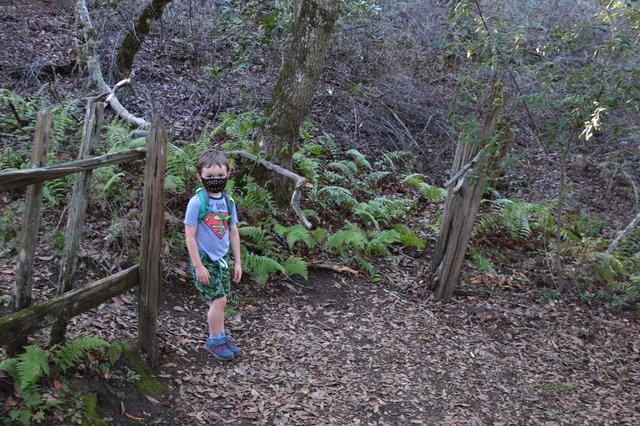
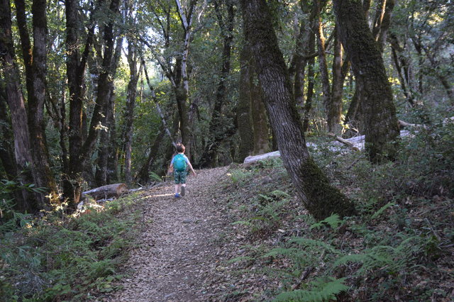
I have a vague recollection of visiting an open space trail with earthquake-related features, probably including the fence built across the fault, as a kid growing up in the Bay Area. So I decided to take my kids to the open space hike on a Saturday afternoon in January.
To reach Los Trancos, Google Maps took along Skyline Boulevard, optimistically designated as a state highway following the crest of the Santa Cruz Mountains. As we drove I occasionally caught glimpses of the urbanized areas of Santa Clara County to the east, and the redwood forests of northern Santa Cruz County to the west. The landscape shifted as we drove; by the time we reached Los Trancos we were in an oak forest with massive oak trees towering above the grassy hillside.
We set out on the trail and I pulled up the trail map on my phone and tried to read off the text explaining each of marked posts as we passed, but neither of my children were especially interested in learning about the earthquake geology. I tried to skim the text and understand what I saw, and I was amused to note that the very first marker in the guide asked me to look to the southeast to see Loma Prieta (the mountain), 23 miles away, where I'd just driven from, to see the rocks at my feet that had washed down the mountain a millions of years ago before continental drift had carried the rock to its current location.
The highlight of the short trail was the earthquake fence, a reconstruction of a fence thought to have been built over the fault that may have been torn apart by the 1906 earthquake. I did at least get Julian to stand on top of the San Andreas fault, in the gap between the two sections of the fence, and tried to get him to consider the geologic forces at work.
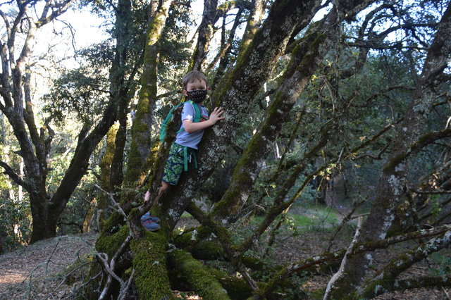
Julian was more interested in climbing the oak trees lining the trail.
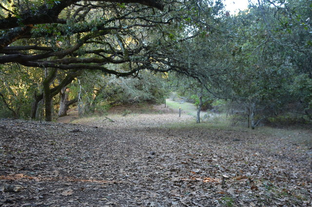
The main fault line was marked by posts to help me see where it lay under the surface, and the trail guide explained that one of the key features I could see was the "road" formed by the fault: as the Pacific plate slid northward at a rate of 3/4 inch per year, the crushed rock at the surface tended to erode and settle, forming a naturally-occurring wide flat section visible on the surface that looked like a road gently descending the hillside.

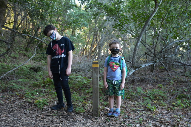
I did manage to pose Calvin and Julian on opposite sides of the San Andreas fault. Here I'm looking north, so Julian is on the east side of the fault, on the North American plate; and Calvin is on the west side of the fault, on the Pacific plate, gradually drifting northward on its way towards Canada.
I am not sure what my kids got out of the experience, but I at least enjoyed the opportunity to get out of the house and see some applied geology.
I have a few more photos from the Earthquake Trail at Los Trancos at Photos on 2021-01-16.
