Leaving Glen
Started: 2023-06-22 21:28:46
Submitted: 2023-06-22 22:15:04
Visibility: World-readable
Hiking out of Point Reyes
Sunday morning, the 11th of June, was our last day backpacking at Glen camp in Point Reyes National Seashore. I was the first person to get up and out of the tent; I started heating water for breakfast (a choice of instant oatmeal or granola; plus coffee (for me) and hot chocolate (for the rest of the family)), then started organizing our backpacks to pack up to return to our car waiting at the trailhead. Kiesa packed the sleeping bags, and handed them to me to load into the backpacks.
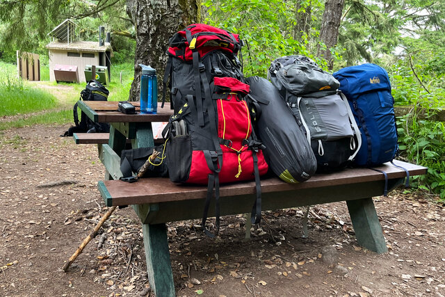
Julian's sleeping bag took up most of the space in his backpack; his bag was the fullest of any of our sleeping bags, and even in its stuff sack it took up more space than anyone else's bags. (For the return trip I packed Julian's backpack so the sleeping bag was centered in the pack, rather than trying to push it to one side to pack more things around it. On the way out his backpack was a bit lopsided, though he was also having trouble remembering to lean forward enough that the weight of the backpack on his back didn't pull him backwards.)
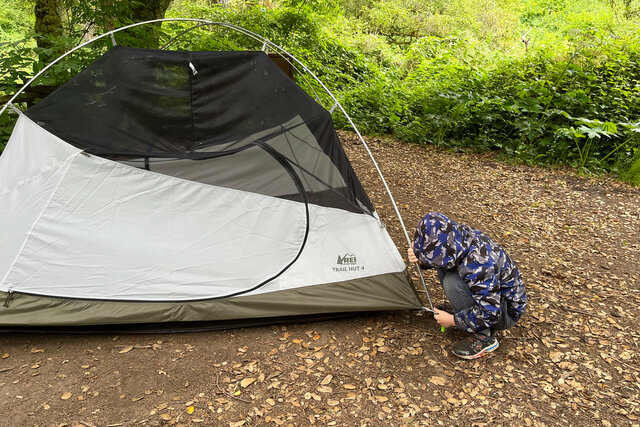
After breakfast I packed the tent, then strapped it to the bottom of my backpack for the hike back to the car.
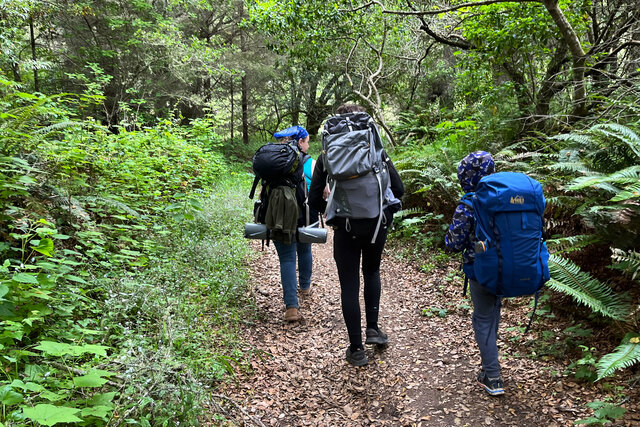
We followed the direct route back to the Bear Valley Trailhead, reversing our route on the trip out. The stretch of trail near camp with the overhanging grasses seemed less intimidating after hiking through the grass on the Coast Trail the day before, and the trail was much less difficult to descend with our backpacks than it was to ascend. We reached the bottom of the valley formed by Coast Creek at the four-way junction with the Bear Valley Trail sooner than I expected, even with multiple rest stops along the way.
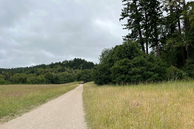
Immediately after joining the Bear Valley Trail, where the trail is really a dirt service road carefully excluded from the wilderness area, a tree had fallen down the hillside over the trail. The fallen tree was not there two days earlier (presumably it was still standing, on the hillside immediately above the trail). It's hard to get a sense of scale from the picture; the width of the gravel path is a one-lane road; the tree trunk was maybe eighteen inches wide where it crossed over the trail. There was enough clearance that I could walk under the tree on the left side (though my pack brushed against the tree as I walked). A bicyclist might need to walk their bike, unless they were slow and careful under the tree. A mounted rider on horseback would definitely not be able to make it under the tree, but they might be able to pass if they dismounted and led their horse. (Horses were banned on the last section of the Bear Valley Trail on weekends and holidays, according to the sign near the four-way junction.)
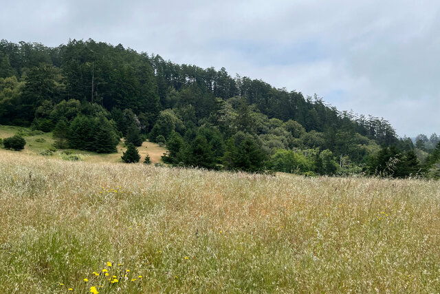
We hiked up the Bear Valley Trail to Divide Meadow, then took another break on a log that had been carved into a bench at the top, overlooking the meadow on the saddle point forming a local maxima on this portion of the trail. We continued down the other side, where we saw progressively more day-hikers coming up the trail from the nearby trailhead. (There were several backpackers who had camped at our campground who were going the same direction we were; we leap-frogged them at various points during the hike.) Soon we reached the Bear Valley Trailhead, our first real contact with civilization since embarking on the trail two days earlier. (We had been out of cell coverage for the entire weekend, but I still could get a GPS signal on my receiver so I was pretty sure no one had started world war three over the weekend.)
We dropped by the visitor's center to tell the staff about the down tree over the trail. We looked around the exhibits, featuring a series of small diorama showing taxidermied animals representing the wildlife in the park. We exited via the gift shop, where I bought a field guide of birds in the American west, with the hope that I can identify the birds I see in my front yard from my office window.
We drove across the Coast Range into the urbanized part of Marin County and stopped for a late lunch at Phyllis' Giant Burger in San Rafael, which described itself as the "best burger in Marin". I did not have the resources to perform an exhaustive search of Marin, but I can confirm that the burger and fries and shake were good enough that they have a credible claim on their superlative.
I chose a route home taking us down highway 101 across the Golden Gate Bridge, then through the western part of San Francisco before we reached 280. We returned home late in the afternoon, after three memorable days backpacking on the coast.
